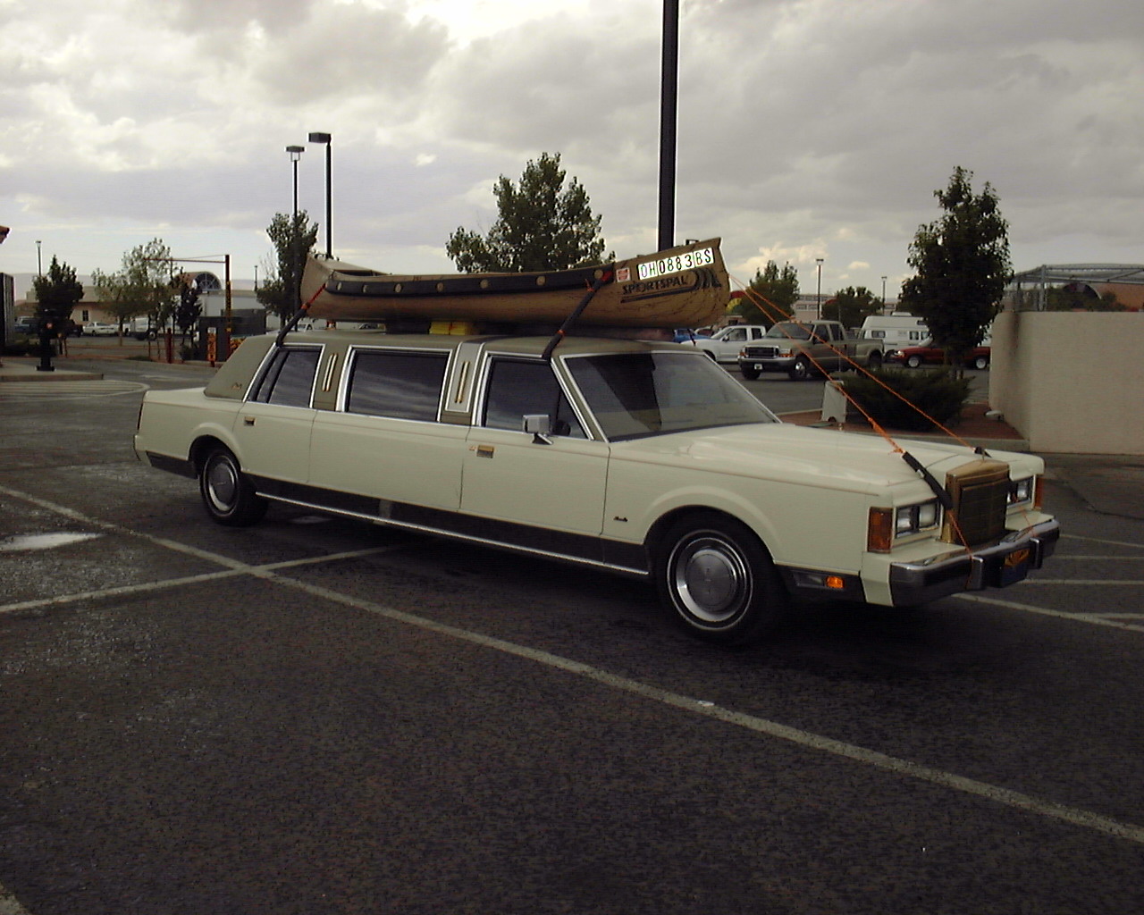
Only in Kayenta, Arizona
Some pictures are missing becuase I have to go to hard copies and scan
them in still... 8-10-01 Check back in a while. Thanks
Only in Kayenta, Arizona
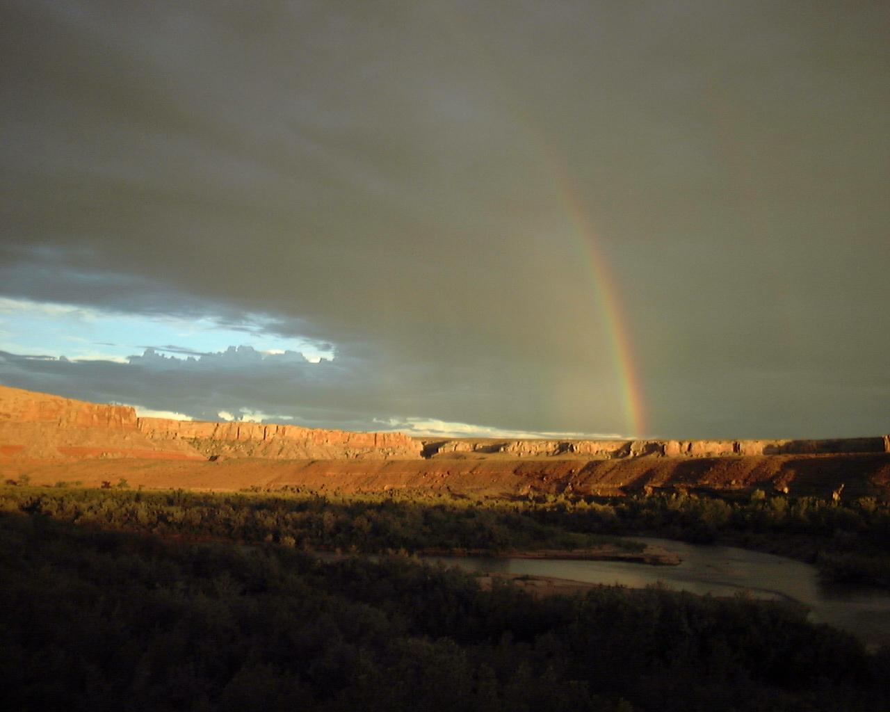
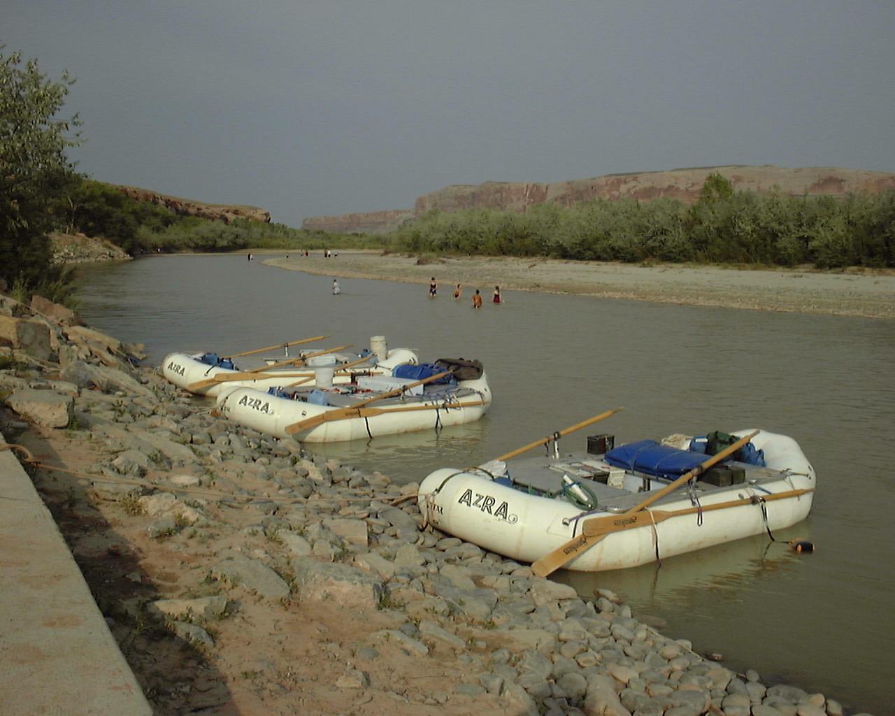
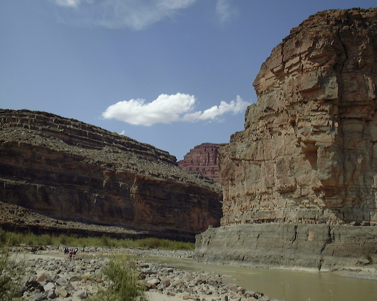
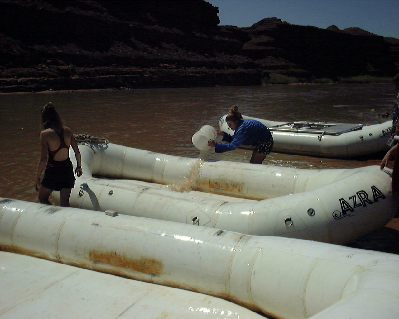
N37 15.769 W109 36.567 - Sand Island - Starting Point for the trip,
camping area, and loading ramp for rafting trips.
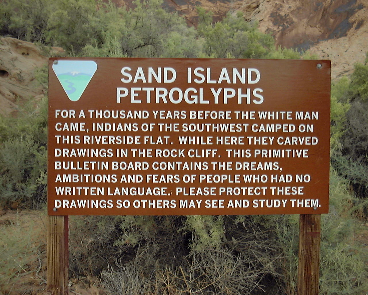
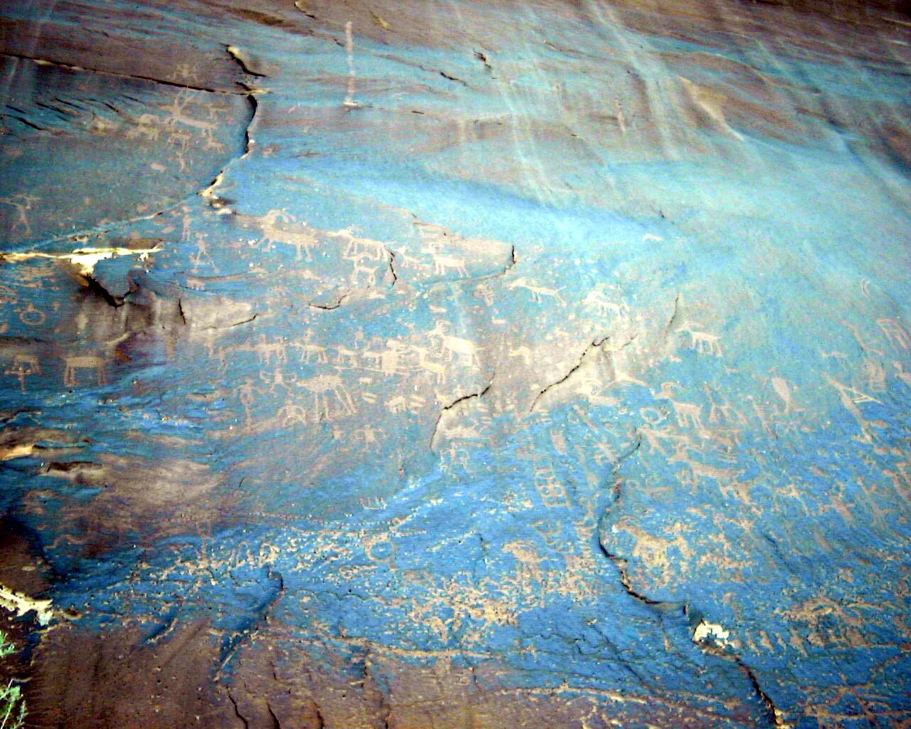
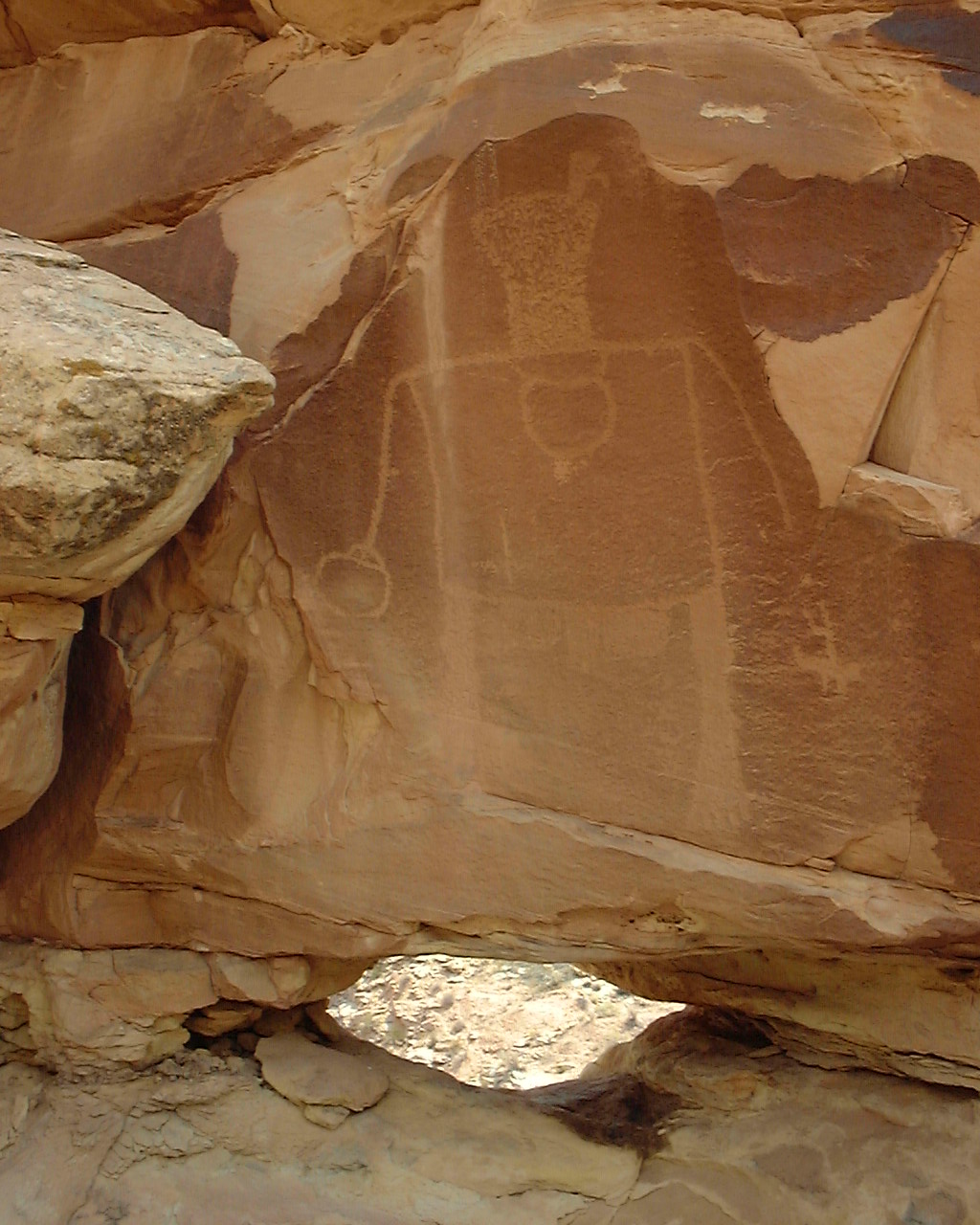
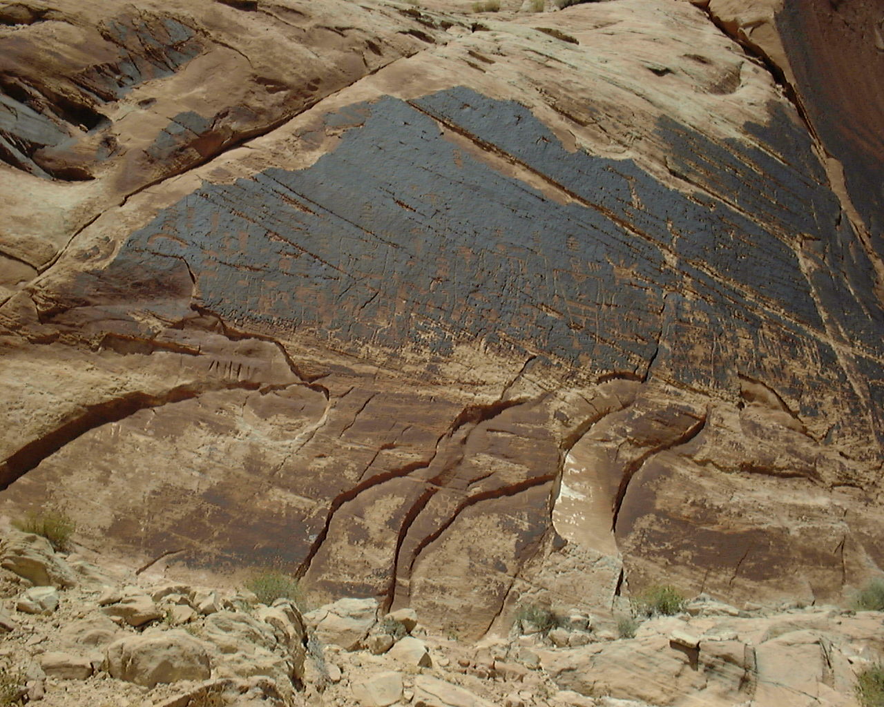
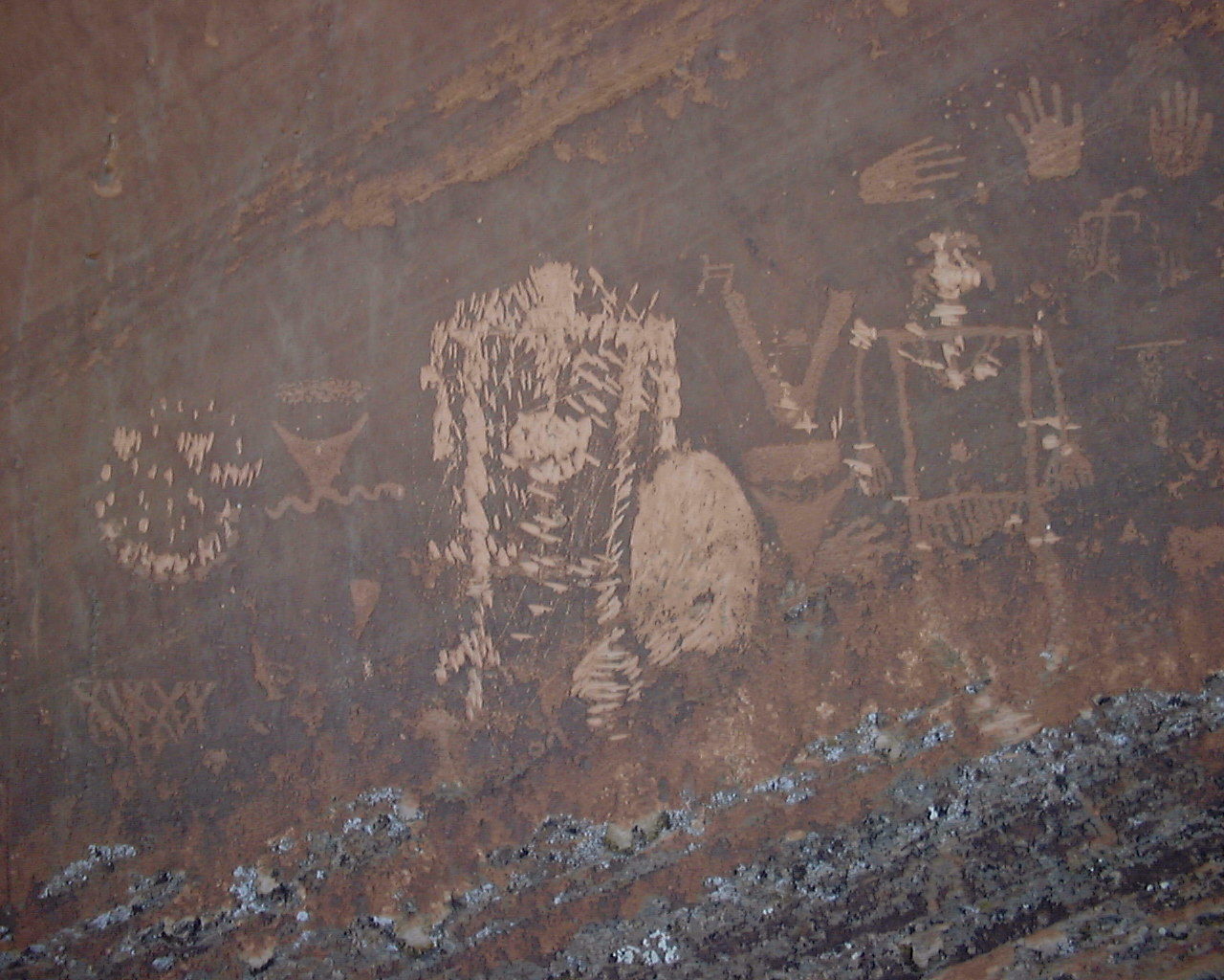
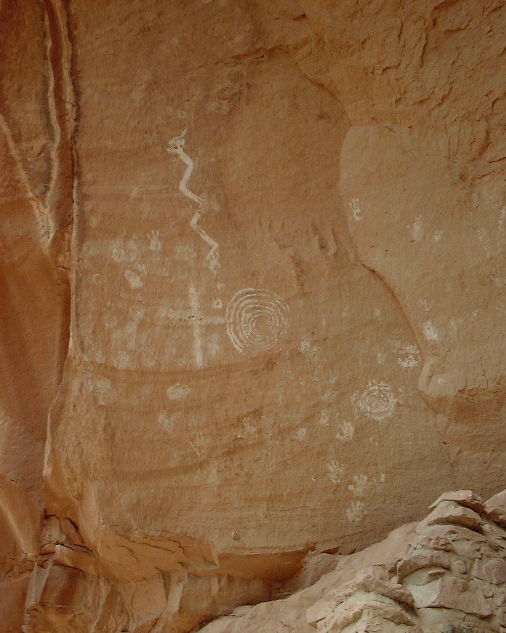
N37 15.713 W109 37.149 - Sand Island Petroglyphs - check out some ancient
art before you head out on your trip down the river.
N37 14.218 W109 39.823 - Stopping point at Butler Wash to check out
some petroglyphs and a cool indian birthing hole. It is about a
1.3 mile hike back to the birthing hole and the petroglyphs, just follow
the creek bed back to the way point below. A lot of bush whacking.
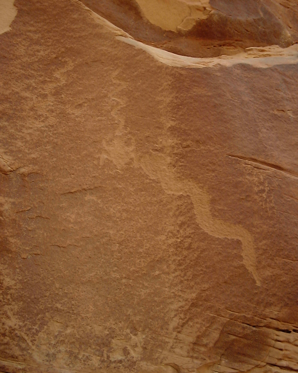
N37 15.211 W109 39.682 - Birthing Hole and Petroglyphs.
N37 13.961 W109 40.145 - This is something I marked my first time on
the trip in 99 don't remember exactly what it is I did mark it as
scenic and labeled it BLFBUT, maybe bluff butte or something check
it out maybe you will be surprised. I think it is some more petroglyphs
on the wall.
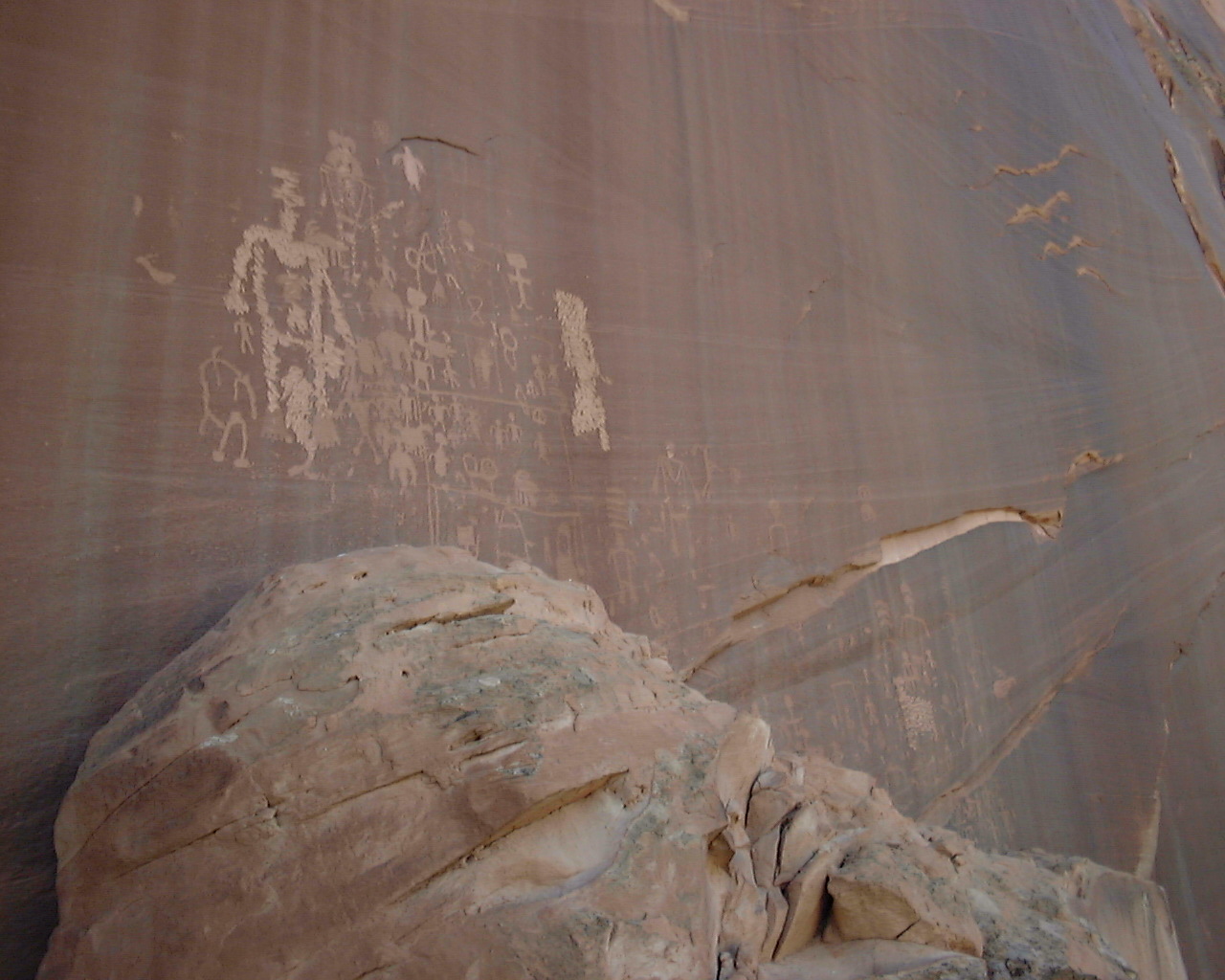
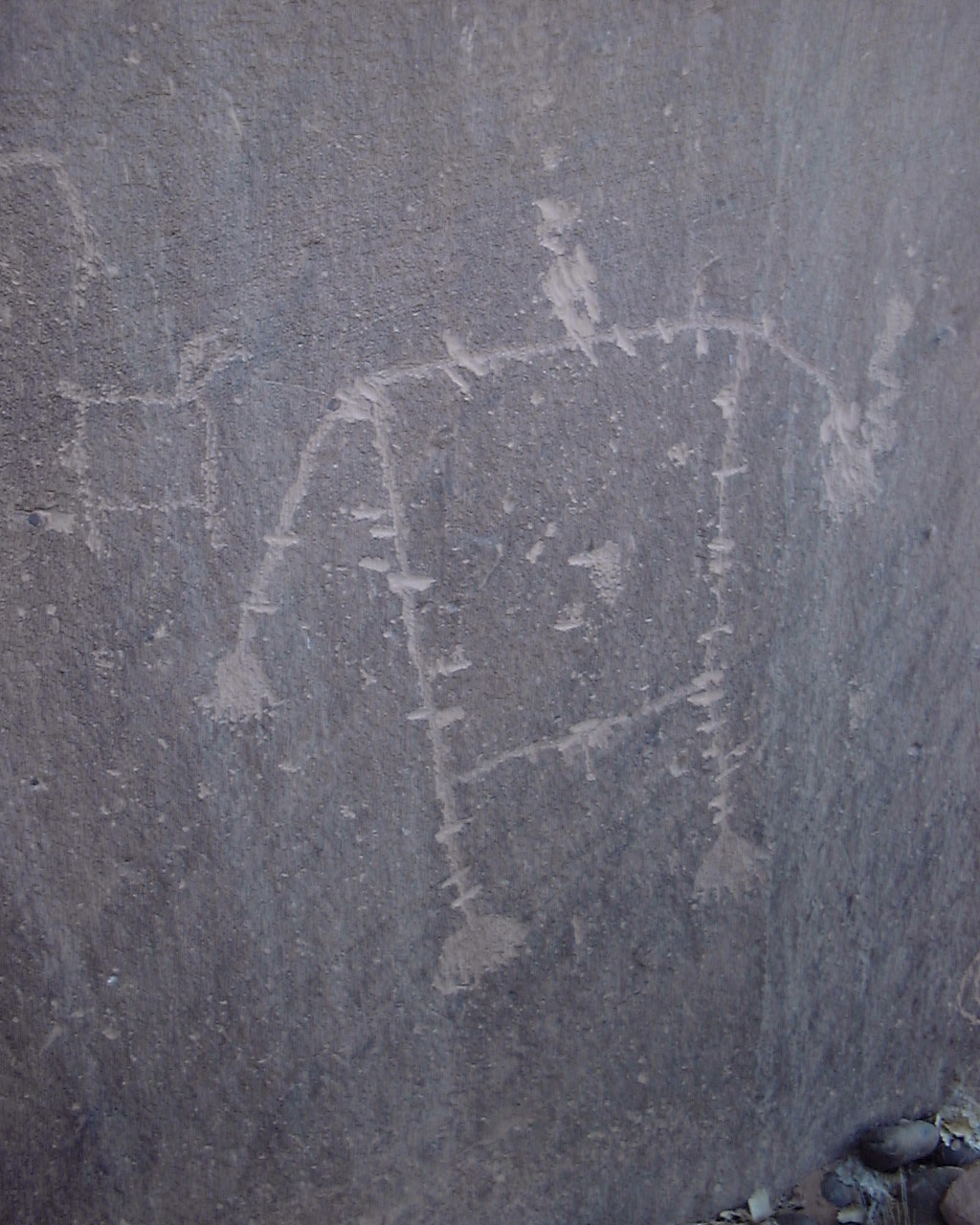
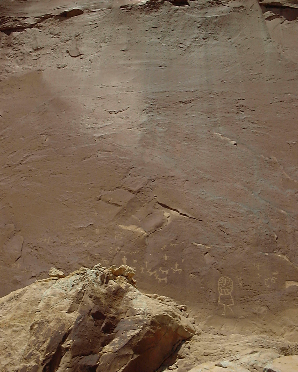
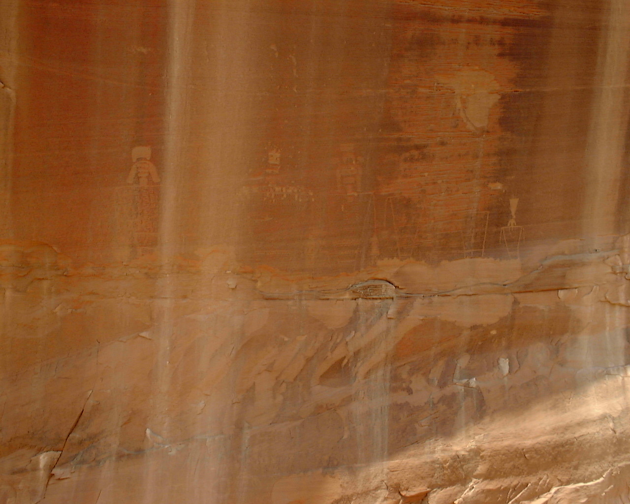
N37 13.404 W109 40.186
N37 13.418 W109 40.064 - These are the waypoints for both ends of this
long wall covered with petroglyphs. You will notice some of
the petroglyphs are etched out, this was done by the Navajo indians
back in the 30's or so because they believed these old Anasazi
petroglyphs on their land were causing the whooping cough plague going
around.
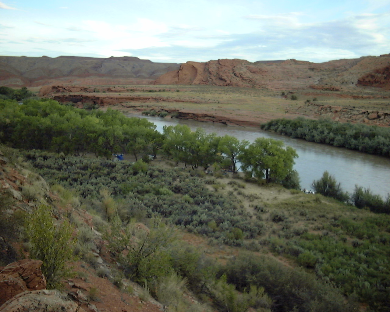
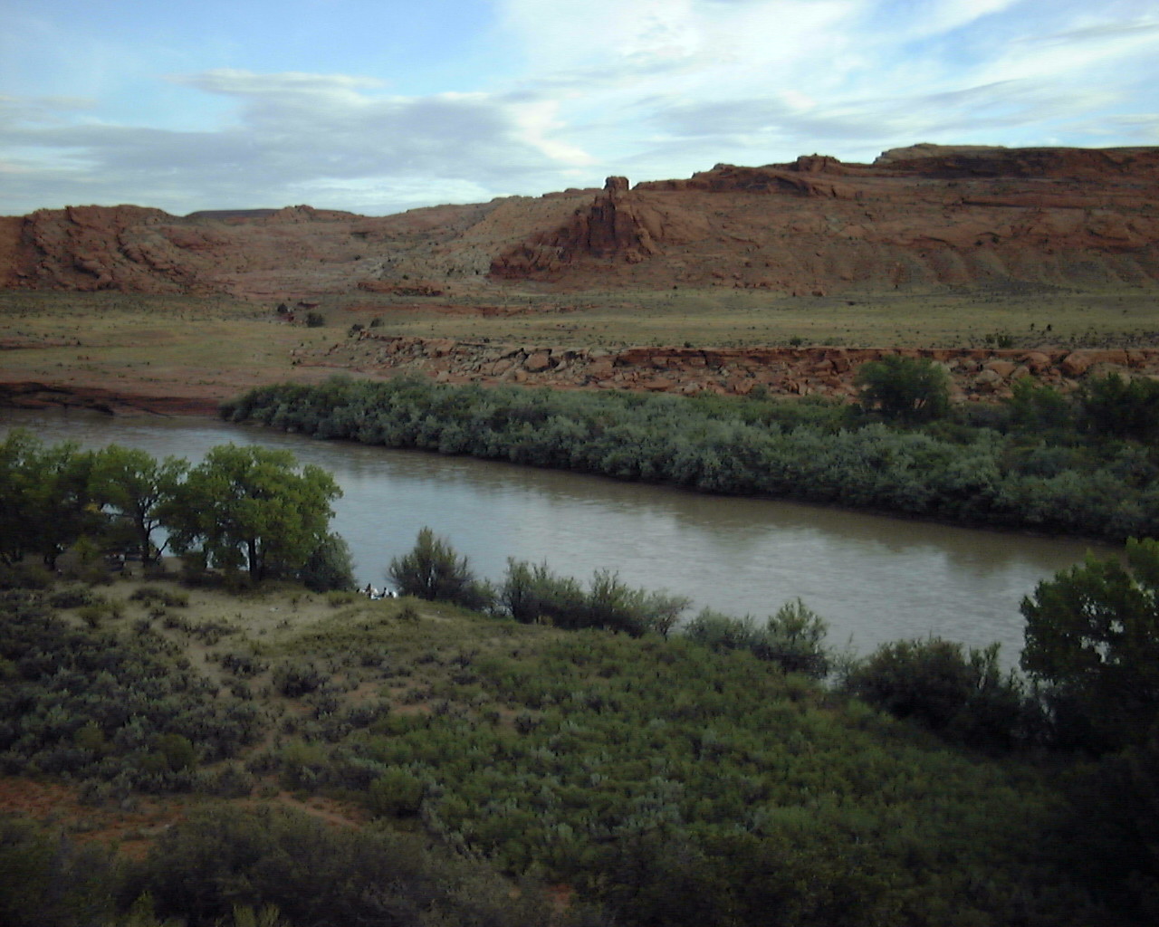
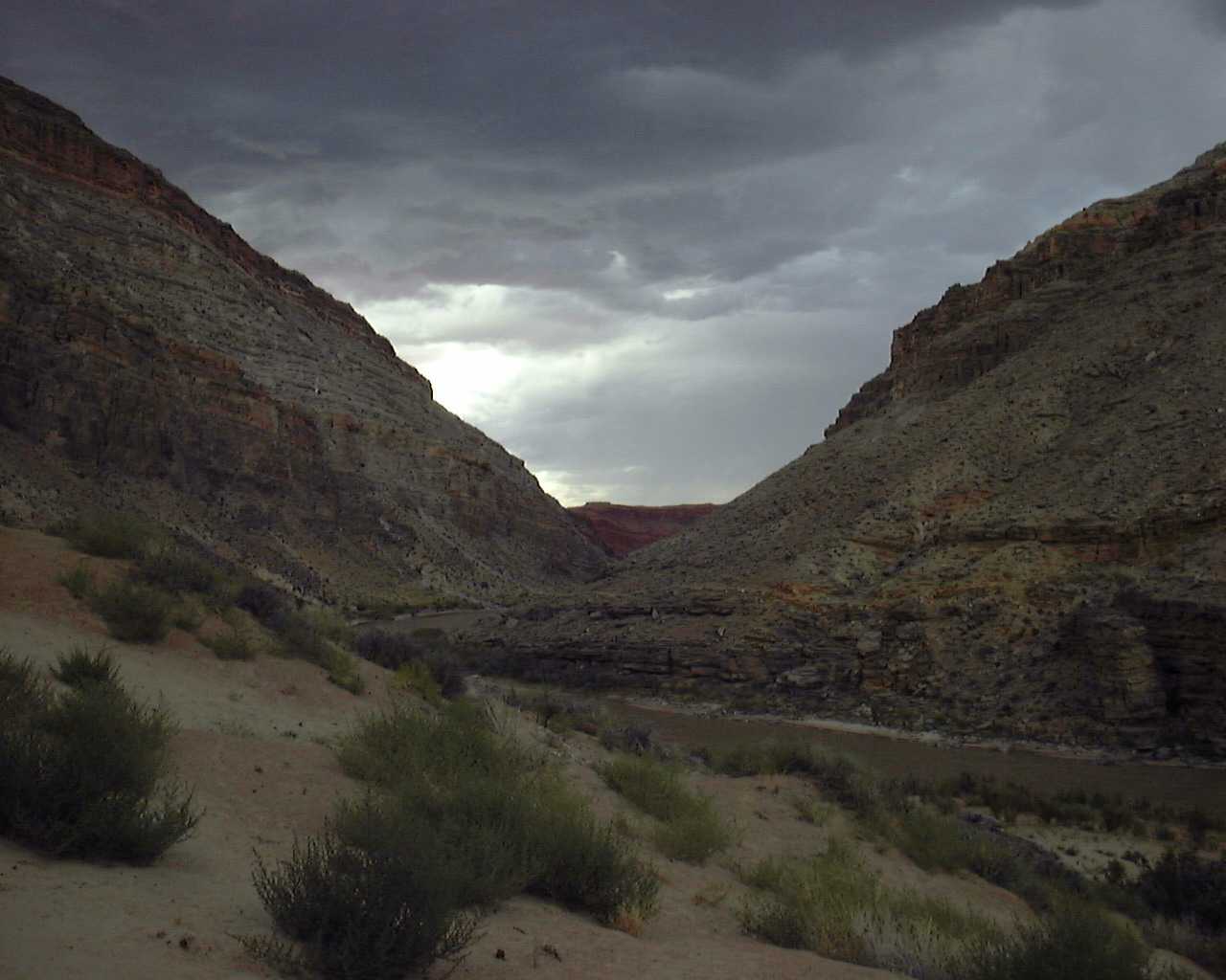
N37 13.089 W109 41.558 - This is a great camping spot close to a bunch
of great sites just across the river.
N37 13.106 W109 41.955 - We camped here as well on some previous year
on same side as river makes it easier to visit great sites.
***PIC COMING***
N37 13.733 W109 41.804 - Really awesome view atop San Juan Hill.
You can hike up the old Mormon Pioneer road to the east of the
stopping point and Bill's Knob. Hard to believe they actually
used to go up and down this road let alone in old wooden wagons.
N37 13.360 W109 41.741 - In front of Bill's Knob a weird looking rock
formation just to the North of this spot. It is the peak looking thing
in the middle.
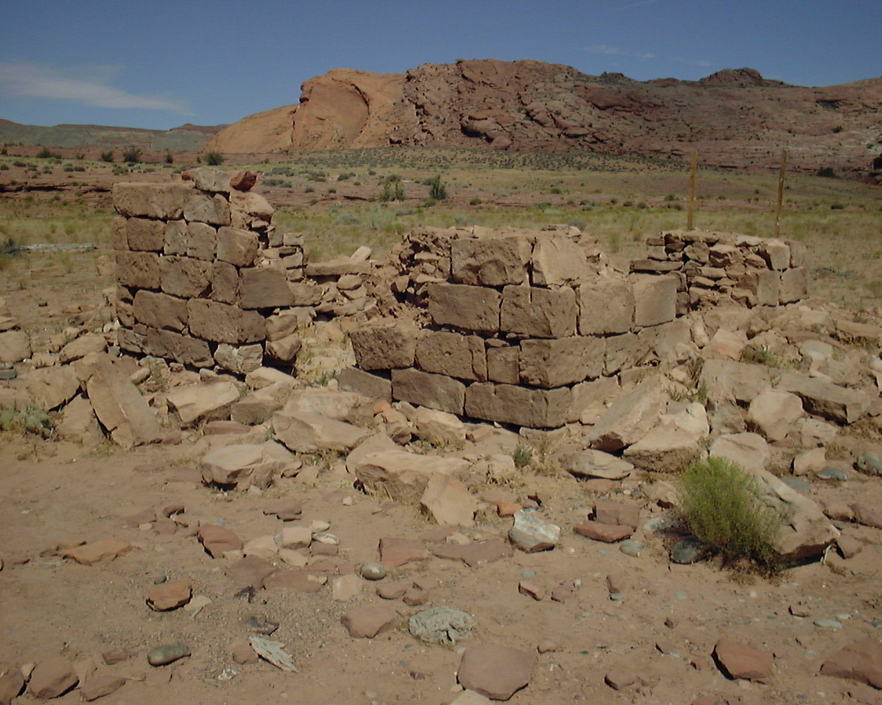
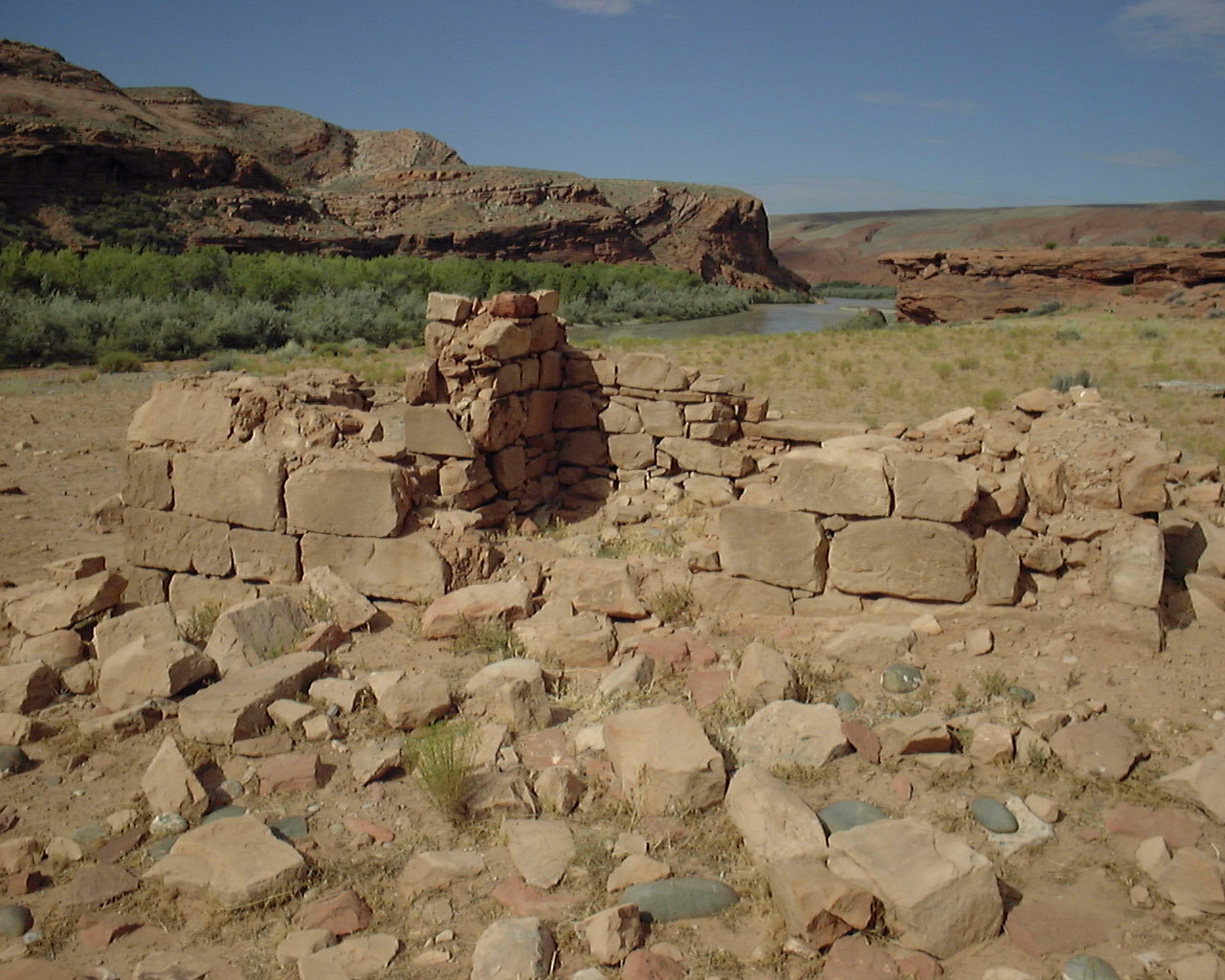
N37 13.177 W109 41.688 - This is the old Barton Trading Post ruins.
The old pioneer trail used to go right by here.
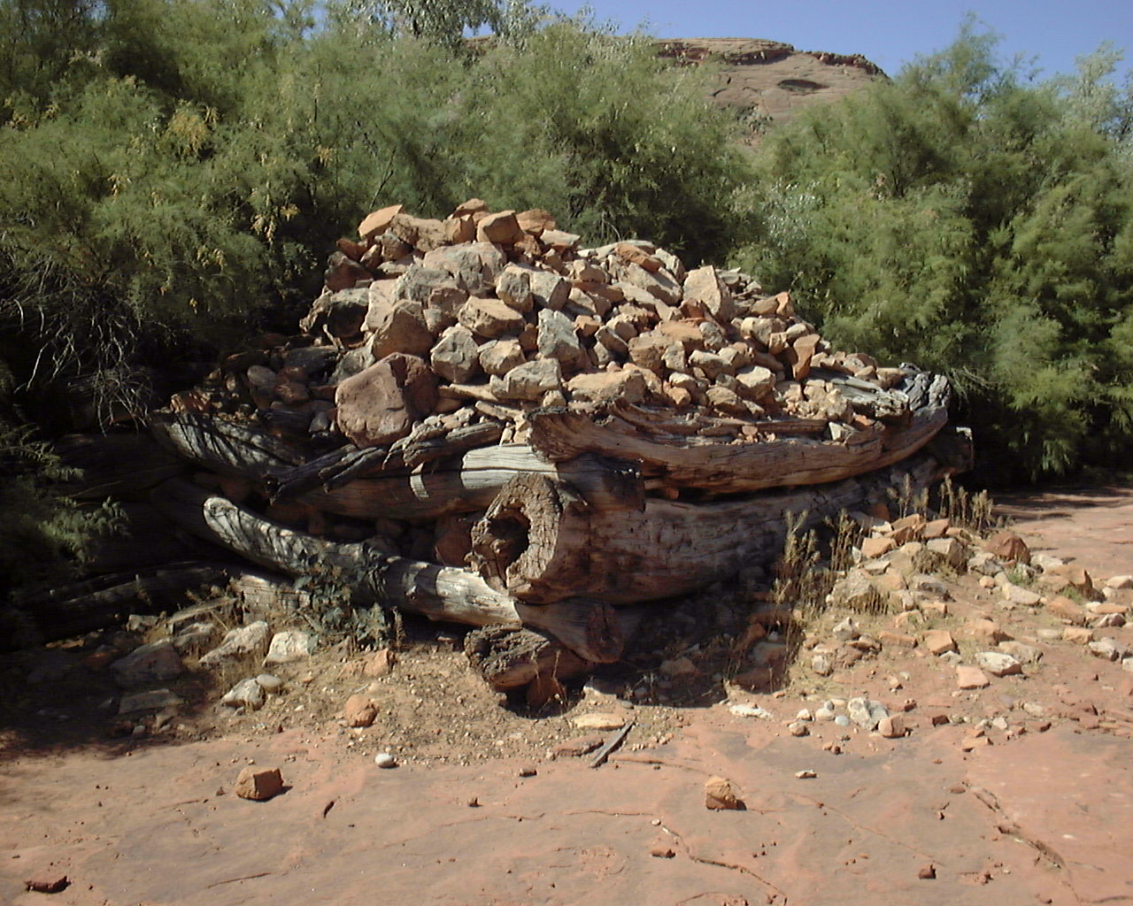
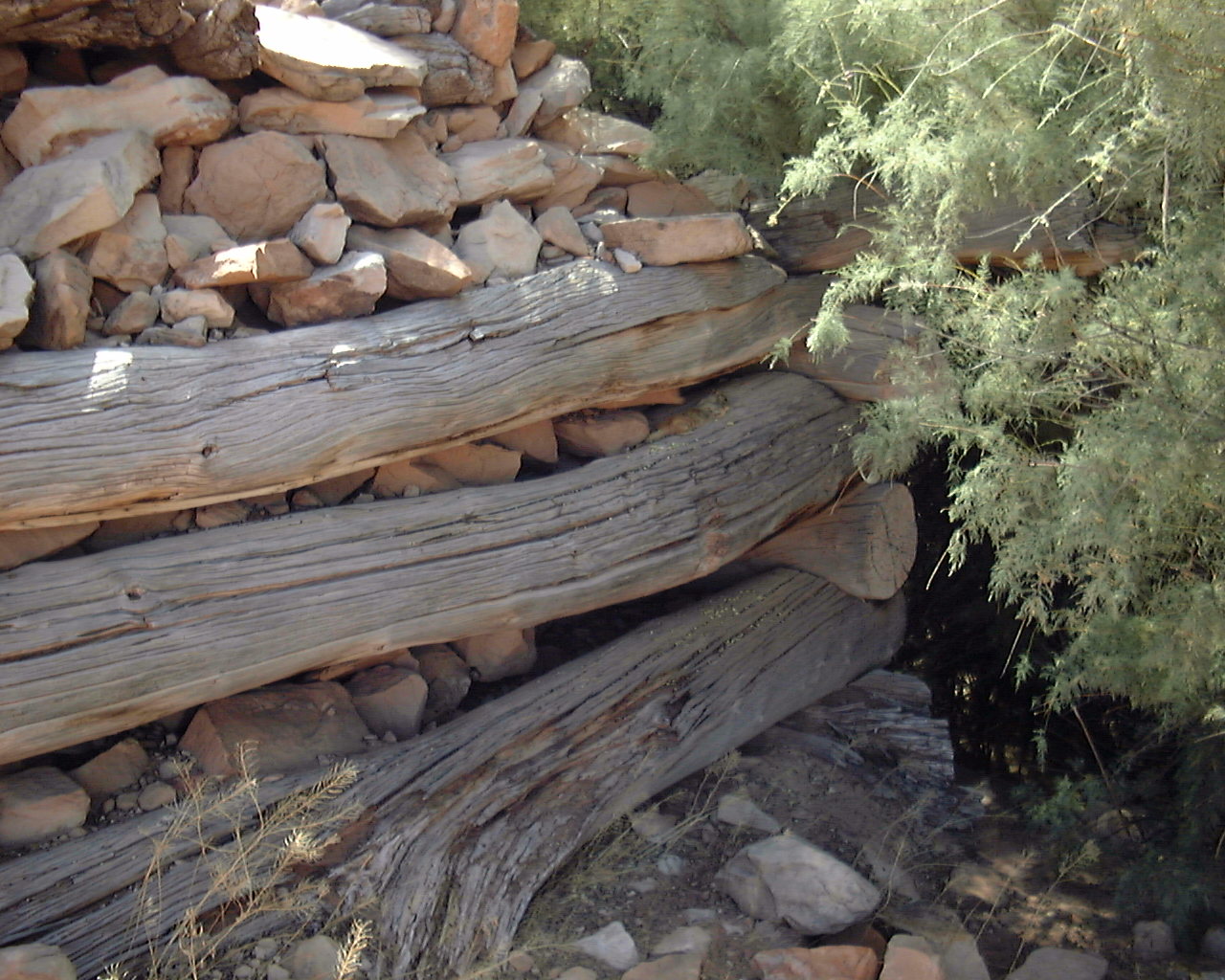
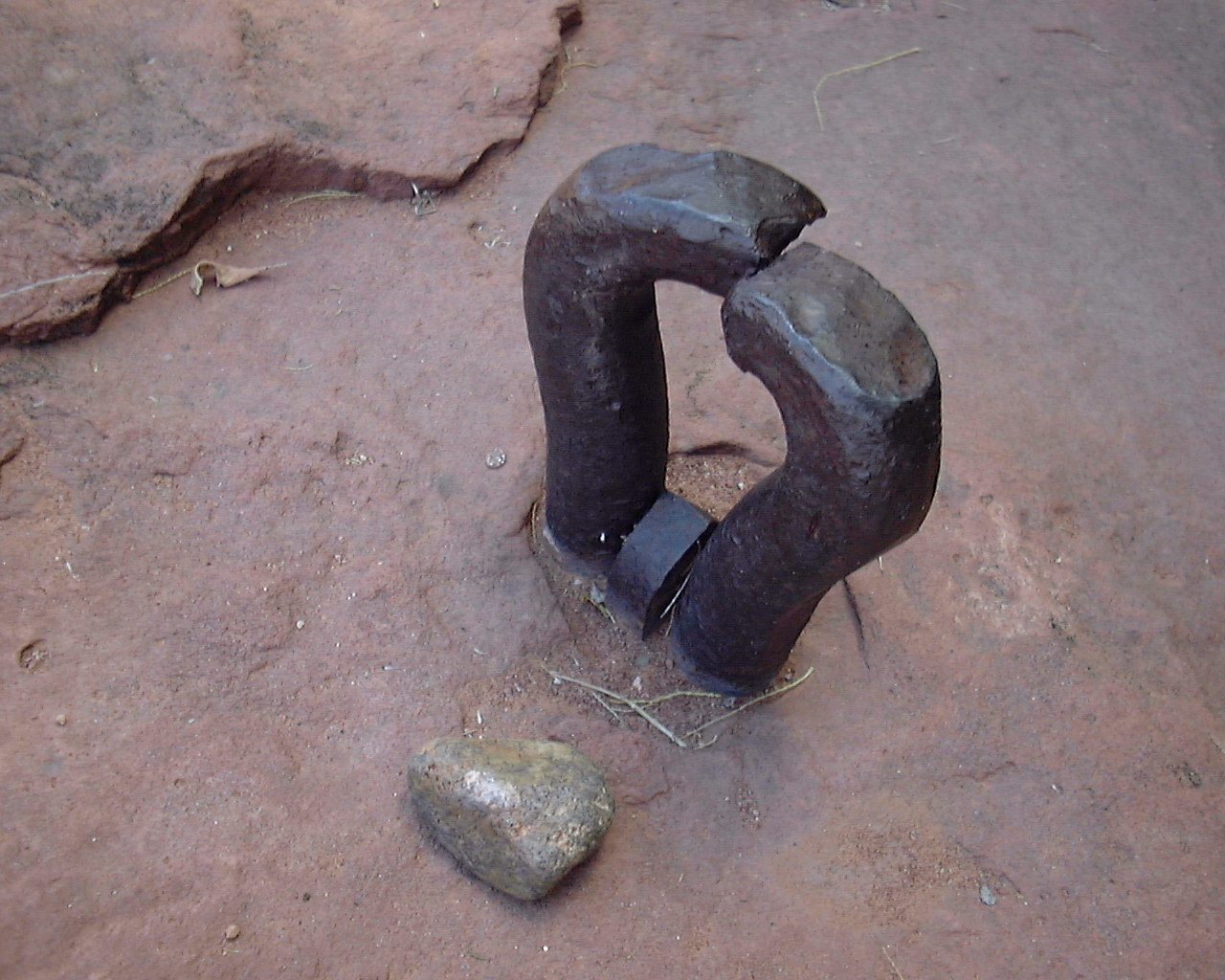
N37 13.171 W109 41.590 - This was Barton's water wheel he built to
help do work by using the power of the river to turn it. He never
used it much since it was destroyed first season after it was done
by floods.
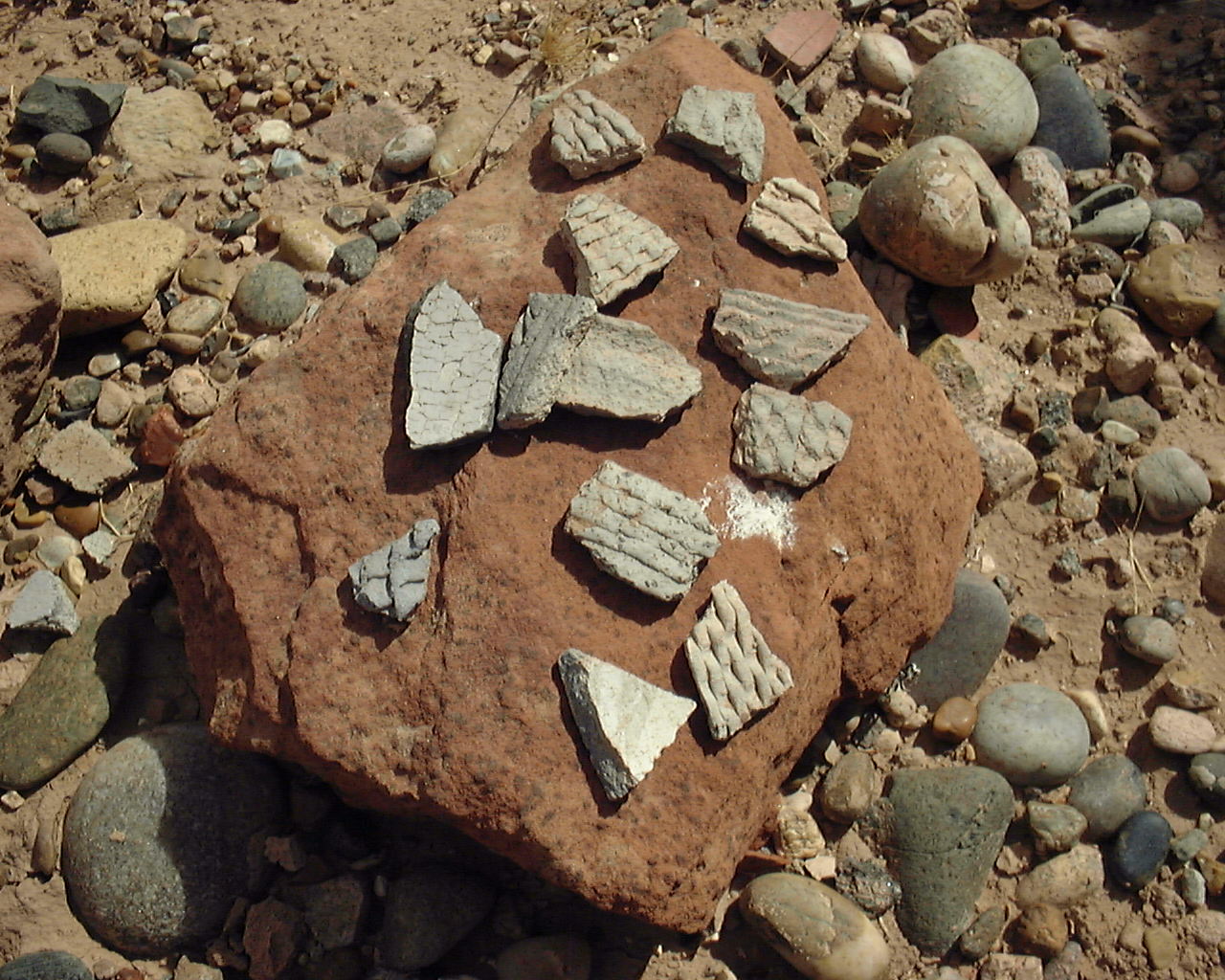
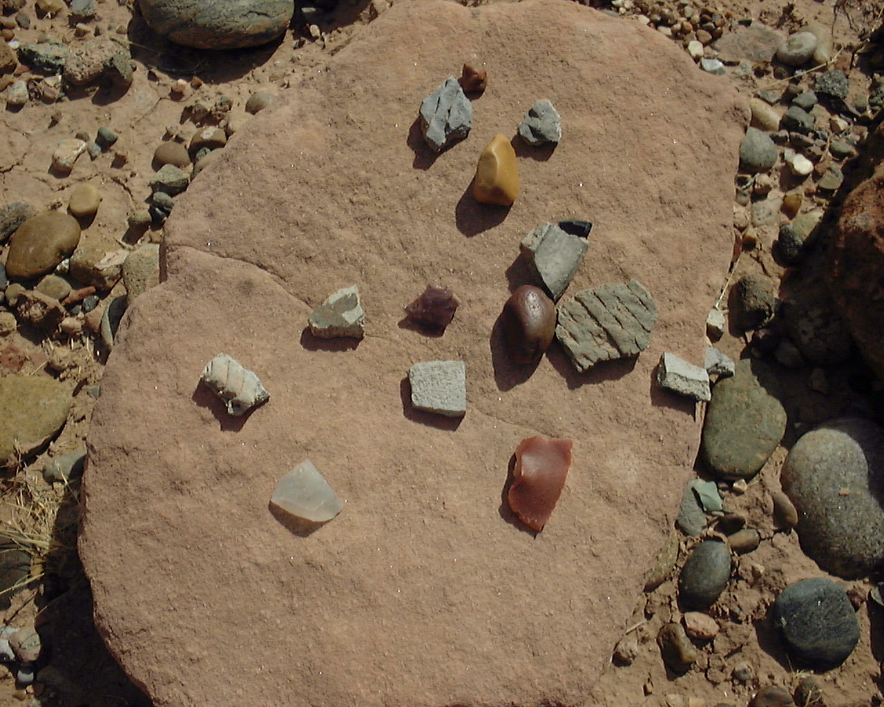
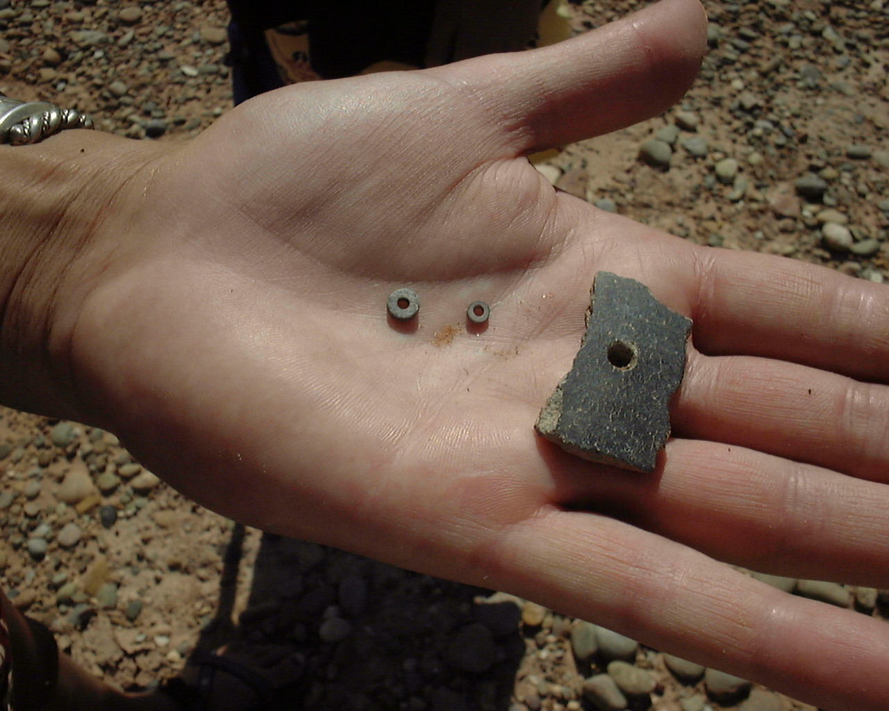
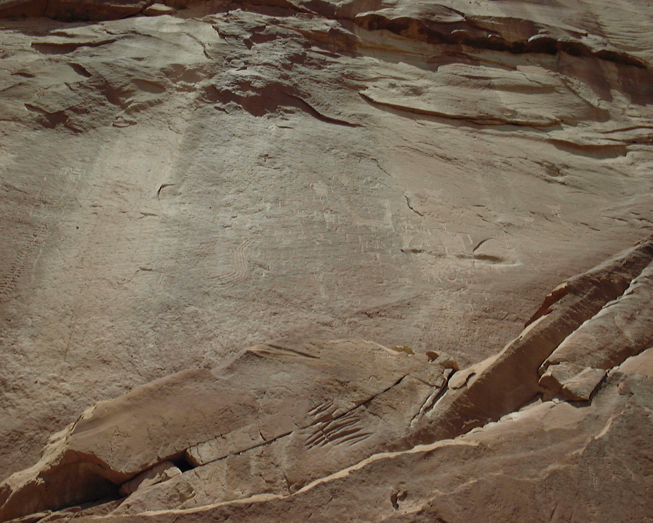
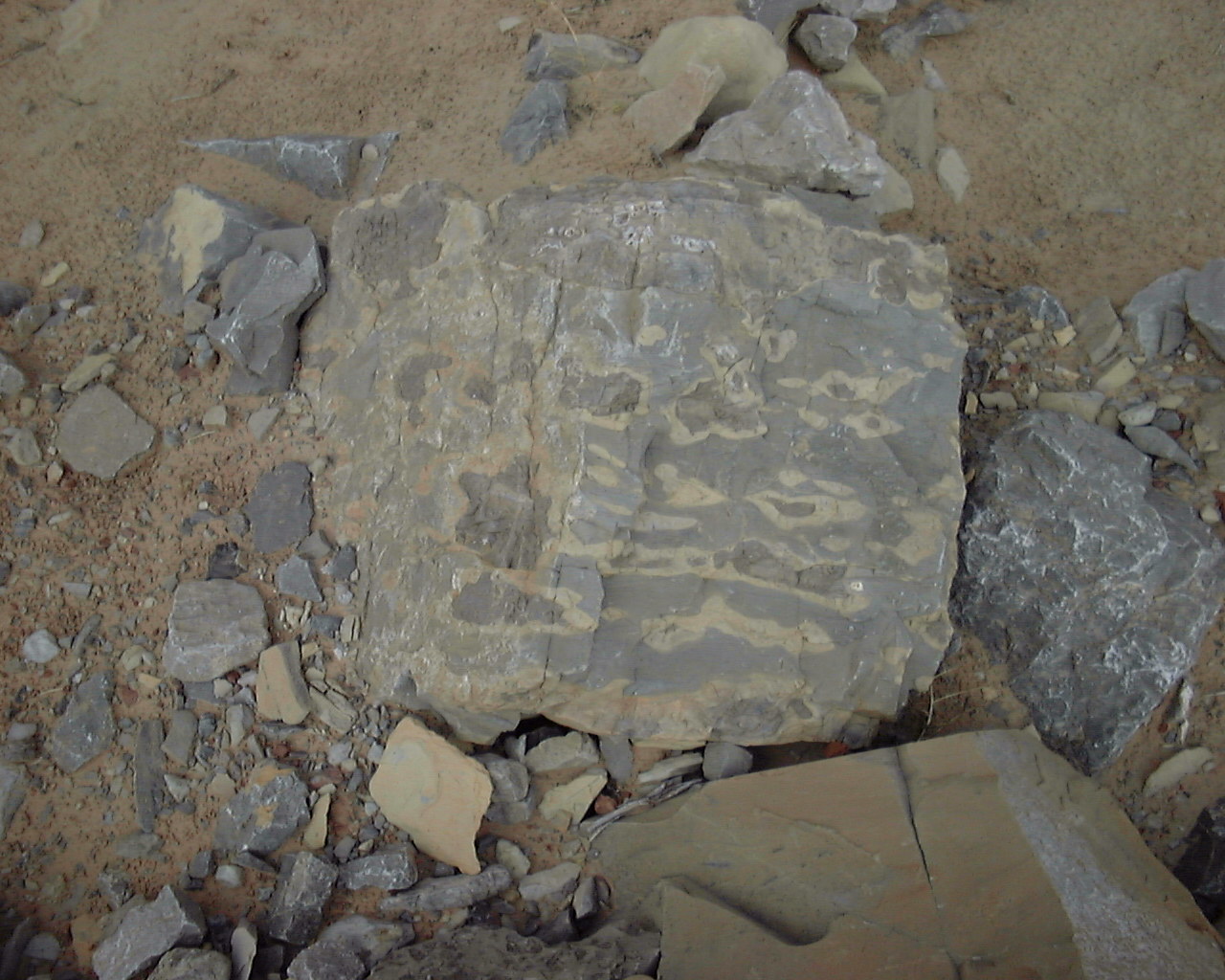
N37 13.340 W109 41.485 - Some ancient artifacts of pottery, jewelry
and arrow heads and tools. Please look but do not take anything
live it for others to enjoy also.
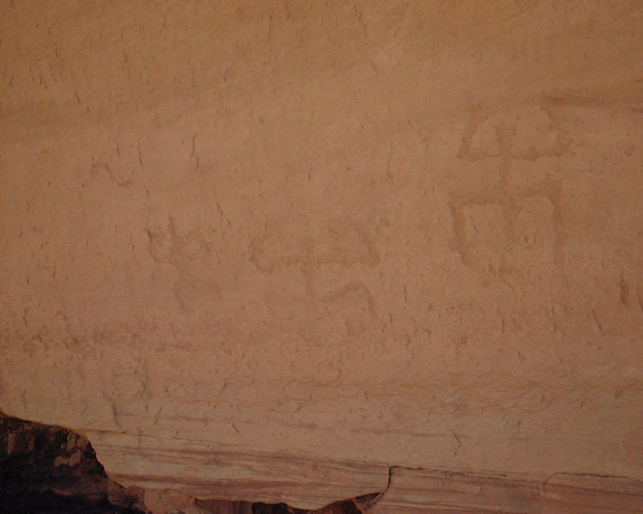
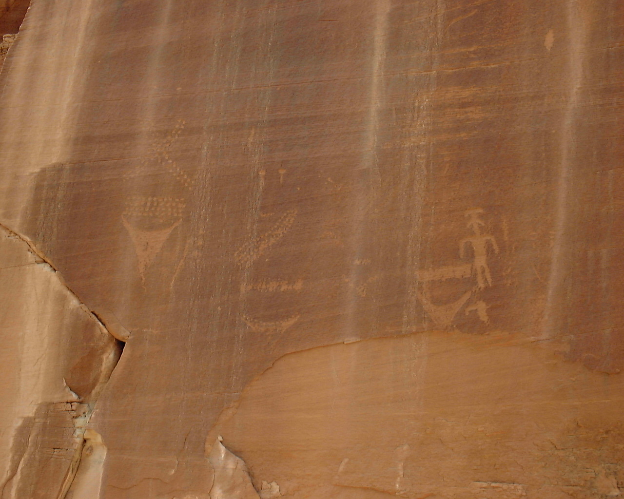
N37 13.360 W109 41.494 - A few petroglyphs and some old mud and rock
walls. Probably part of the granary.
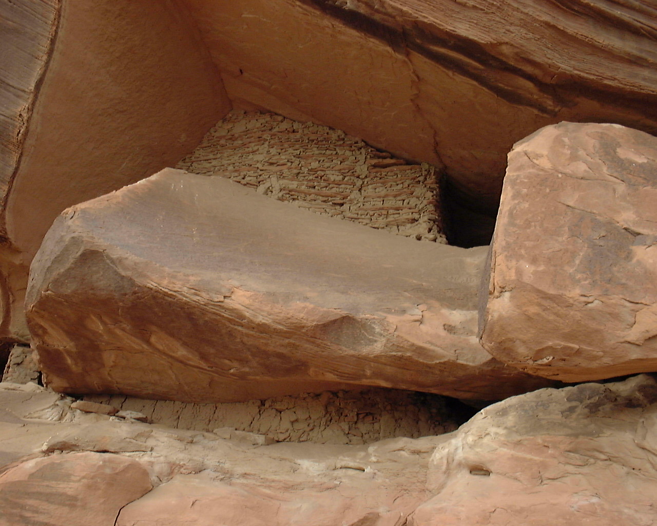
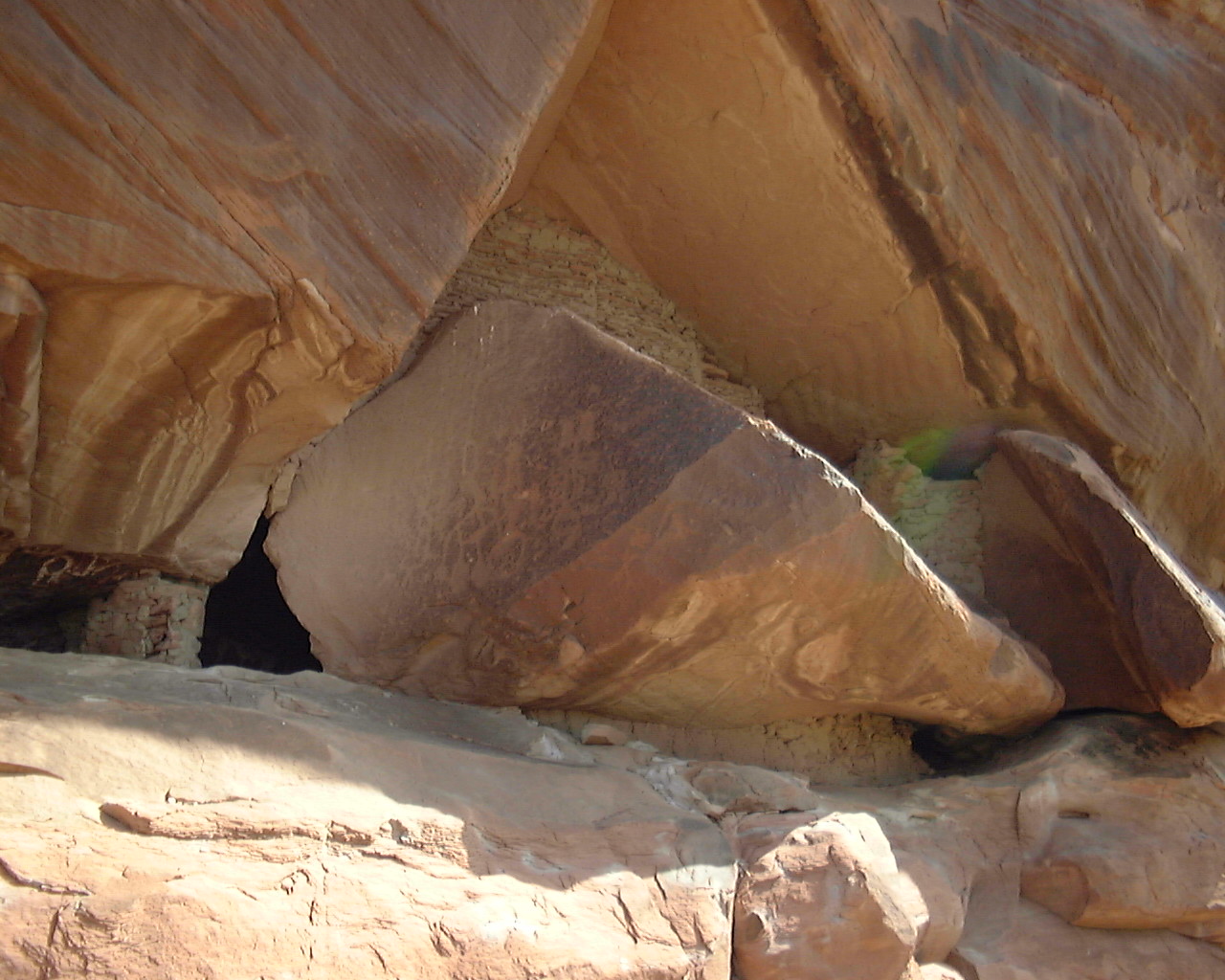
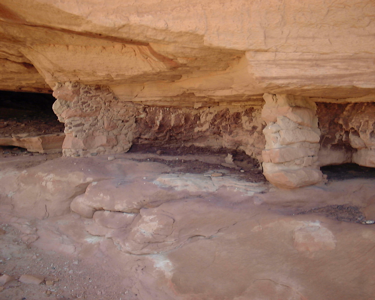
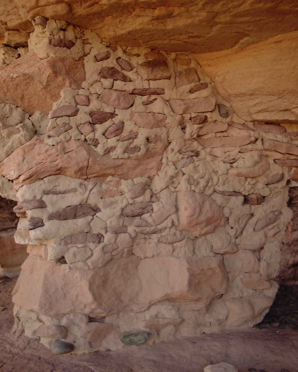
N37 13.372 W109 41.348 - The granary. You can see mud and rock
walls they used to build storage areas for the grains during the off
seasons. These are built right into the side of the rock mountain.
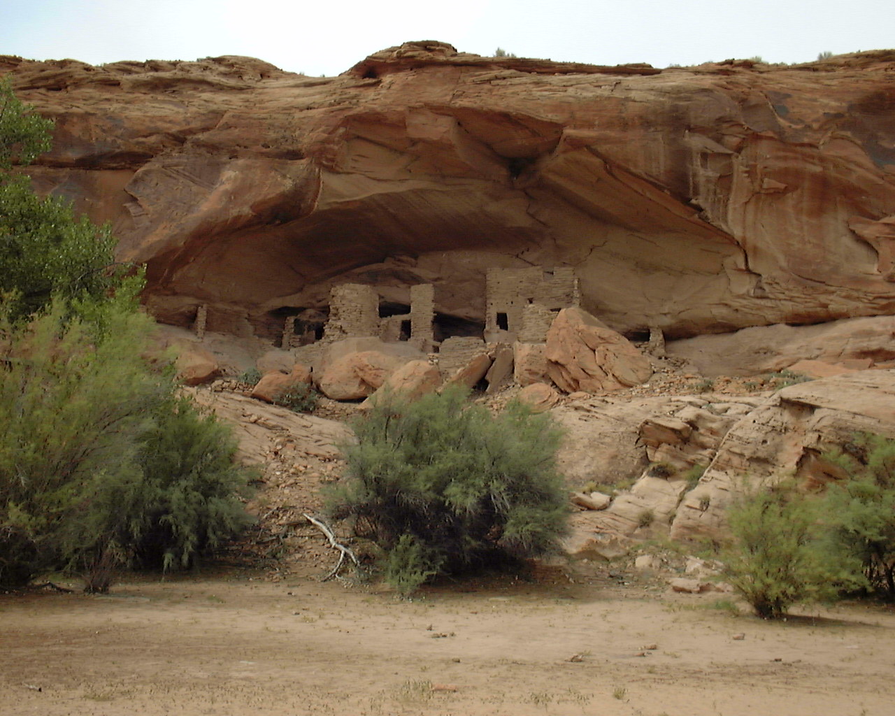
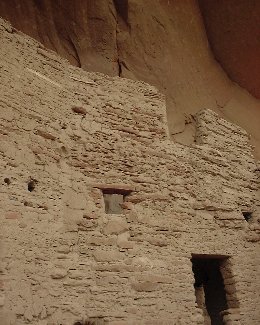
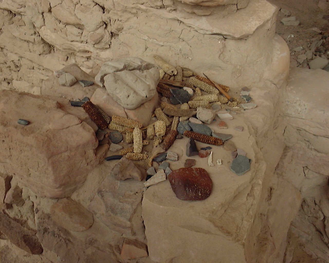
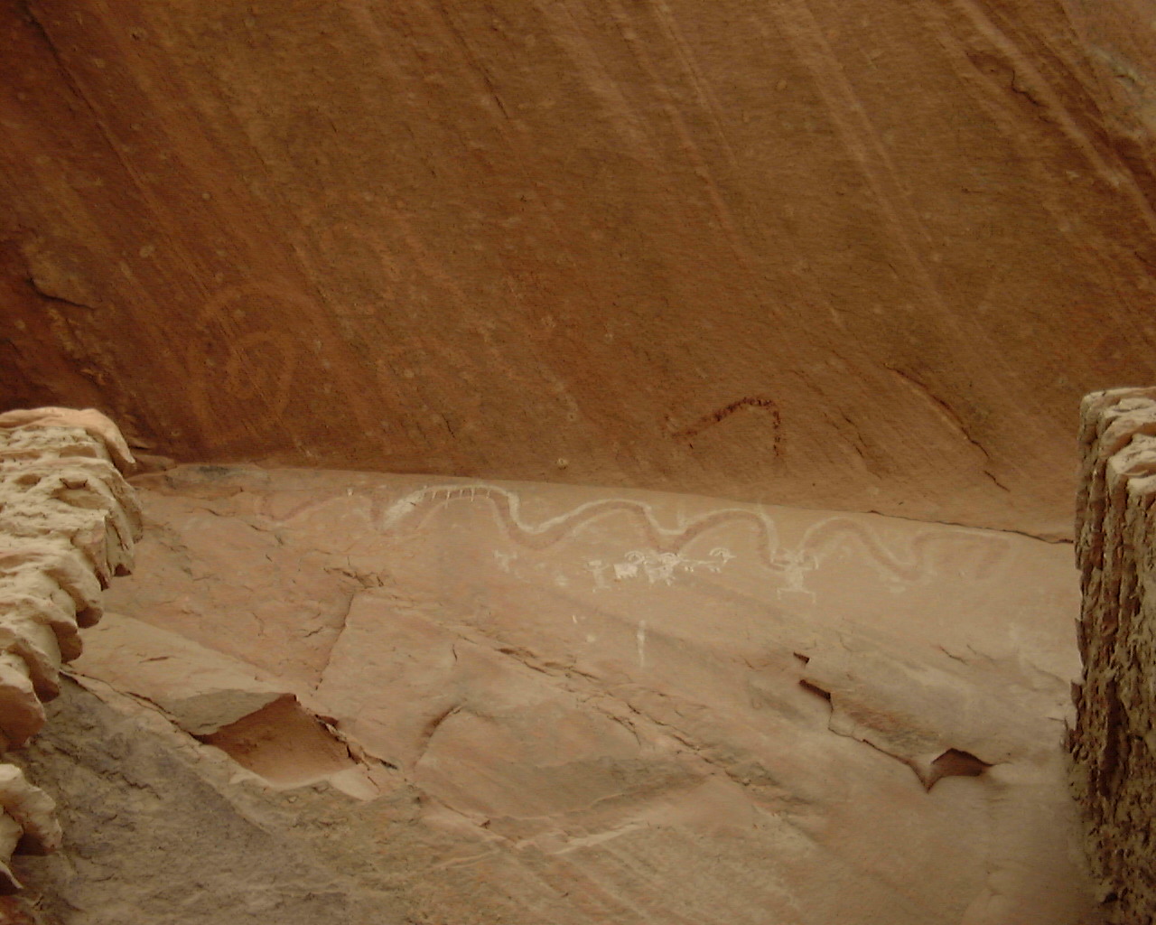
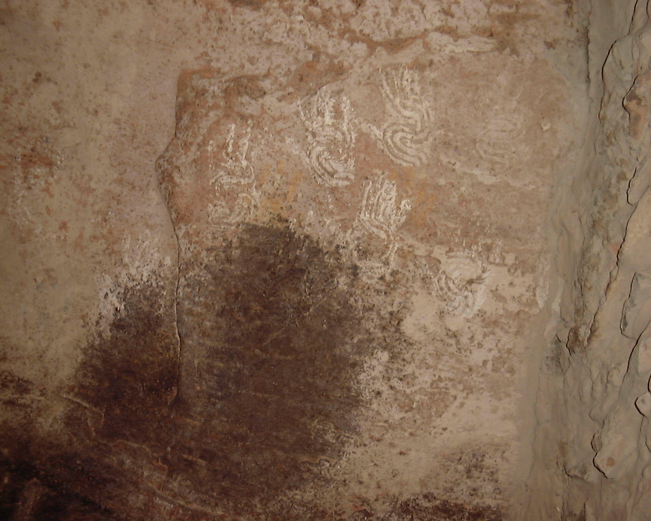
N37 13.371 W109 41.292 - River House Ruins. This an ancient house
cliff dwelling. Very well in tact. It contains pictographs
(painted
art) on the walls and other old artifacts around like some pottery
and old corn cobs, that kind of stuff. Remember please only look
and
don't touch the walls or take anything from this place. Many
of these places are still sacred so treat them as such.
***PIC COMING***
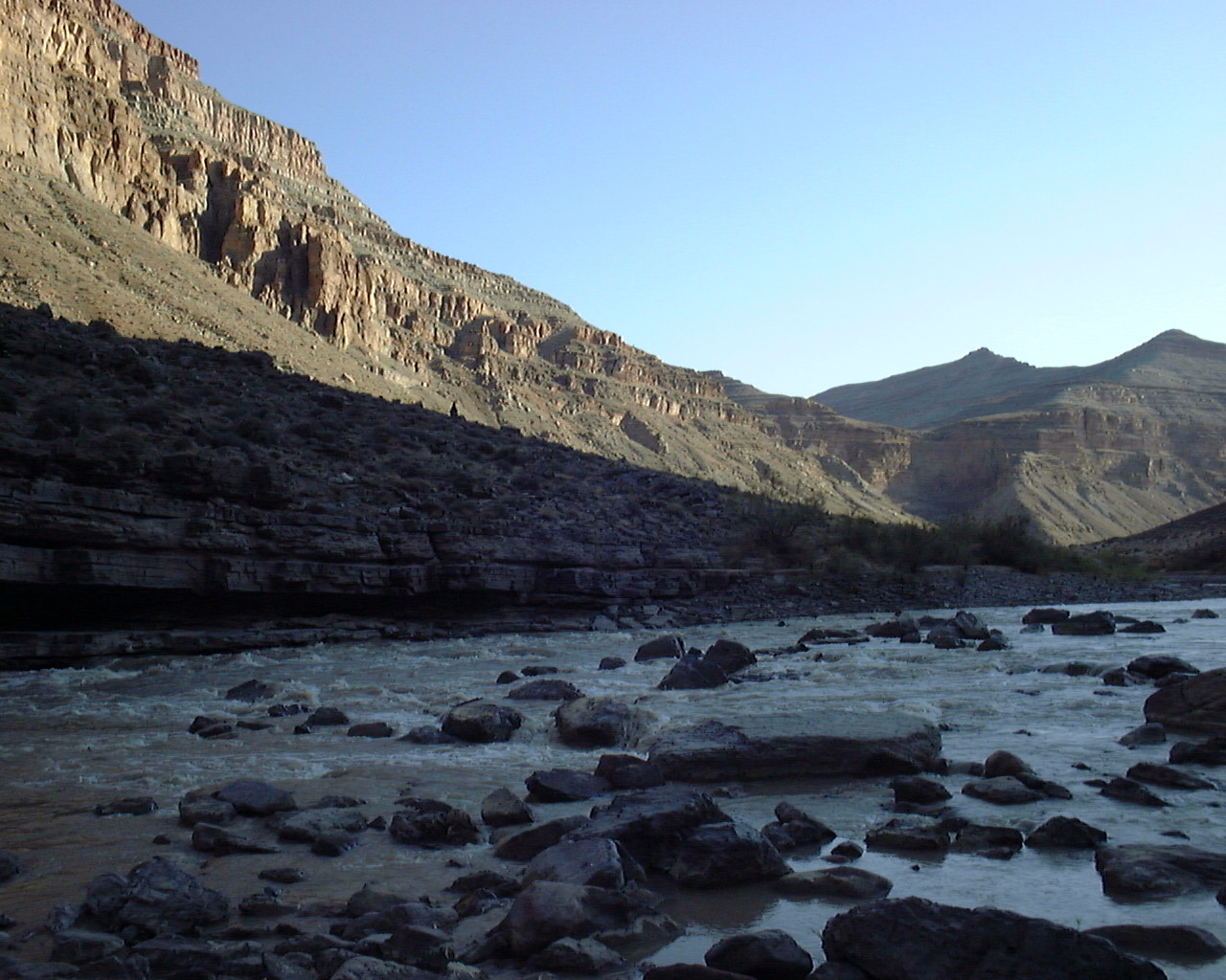
N37 12.384 W109 44.422 - Four Foot Rapids
***PIC COMING***
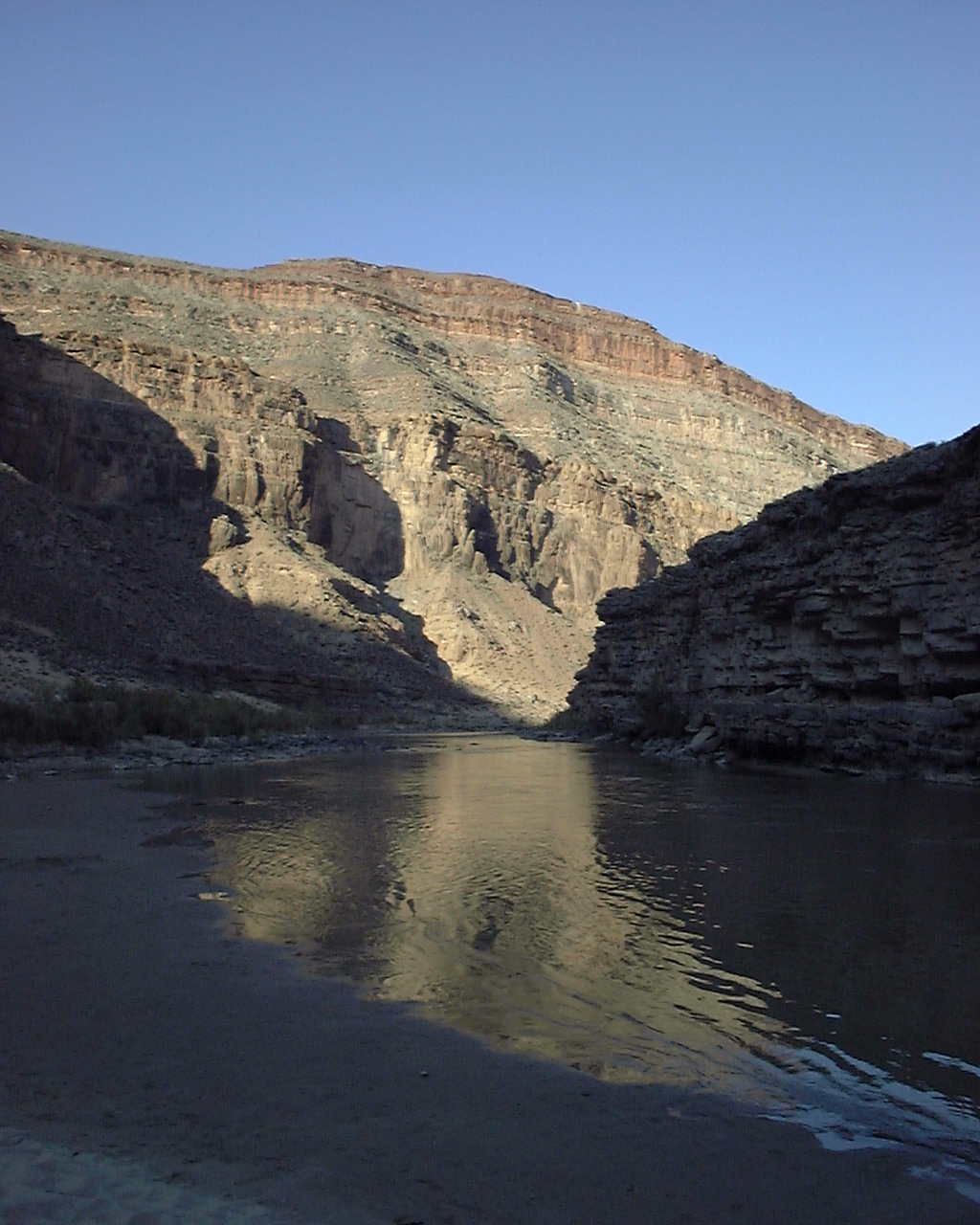
N37 11.117 W109 47.105 - Eight Foot Rapids
N37 10.999 W109 48.738 - Ledge Rapids

N37 10.914 W109 48.761 - Camping and stopping point for this San Juan
- Soda Springs Cache. This is a great spot to camp you can
listen to the rapids all night and swim in the circular currents next
to the rapids.
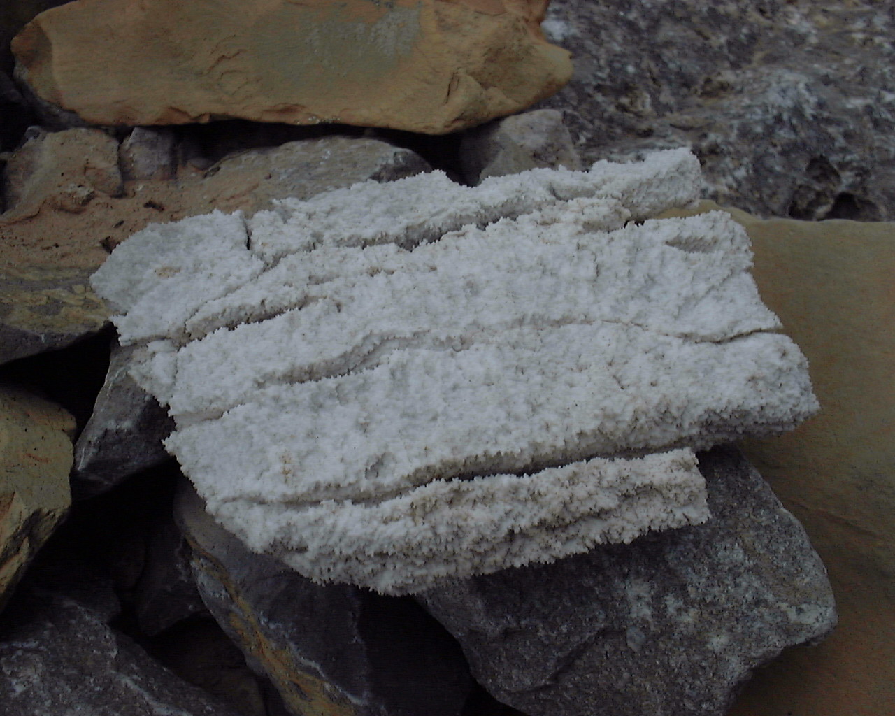
N37 10.871 W109 48.767 - Some cool looking rocks. I found a weird rock
here think it is some crystalized calcium or limestone.
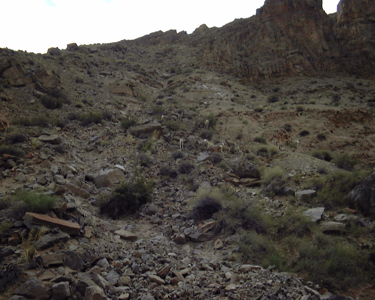
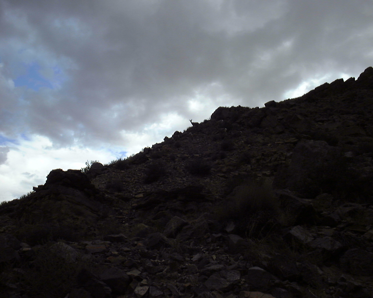
N37 10.804 W109 48.751 - Also saw some cool mountain goats here as
well about 10 of them.
***PIC COMING***
N37 10.707 W109 49.772 - Stair Master Hike finish point. Awesome
view of Mexican hat and Monument Valley. Worth the hike up.
***PIC COMING***
N37 10.448 W109 50.921 - Mexican Hat Rock. Pretty cool balanced
rock and you'll see why it gets its name.
N37 08.836 W109 51.235 - Take Out!!! End of the trip. :(